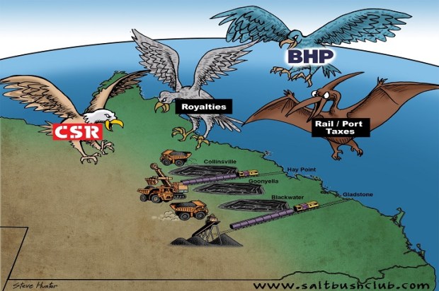
Part 2 of the Bowen Basin Stories…
Who says ‘geology is boring’?
It is a story of floods and droughts, ice ages and verdant forests, earthquakes and volcanic eruptions, tidal waves, climate disasters, and species extinctions. All this is written in the rocks of now-peaceful Queensland.
I studied geology, Chemistry, and Physics for 6 years, first at Warwick High School and then at the University of Queensland. I then spent 5 years as part of a four-man team mapping the geology of the Bowen Basin in Queensland.
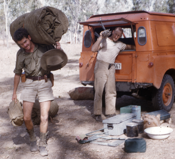
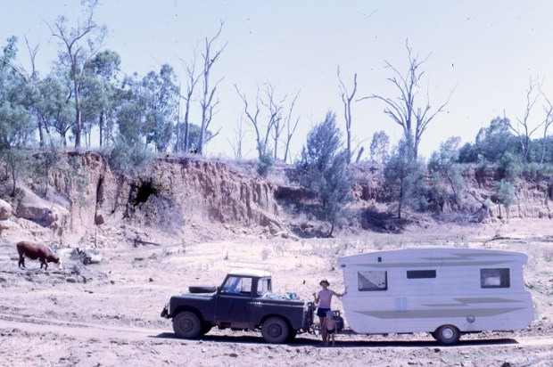
Unloading Swags and Tucker
We started from Collinsville in 1961 and ended 600 km to the south near Injune in 1965. The work was funded by the federal government ‘to assist the search for oil’, but what we found was lots of disturbed rocks and quite a bit of coal.
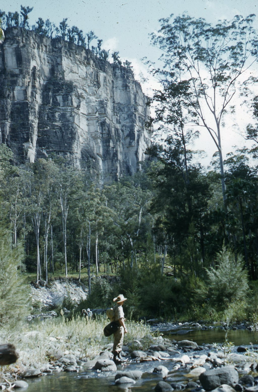
Our most useful mapping tool was a bundle containing hundreds of aerial photographs covering the whole land surface. Roads, tracks, rock types, folding, bedding trends, fault lines, igneous intrusions, and volcanic flows are often visible in these photographs. This is because different rocks weather differently, forming soils of different colour and supporting varying types and intensity of grasses and scrub.
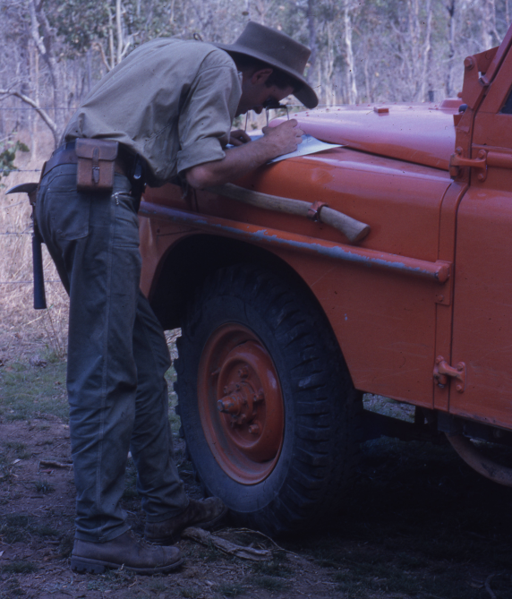
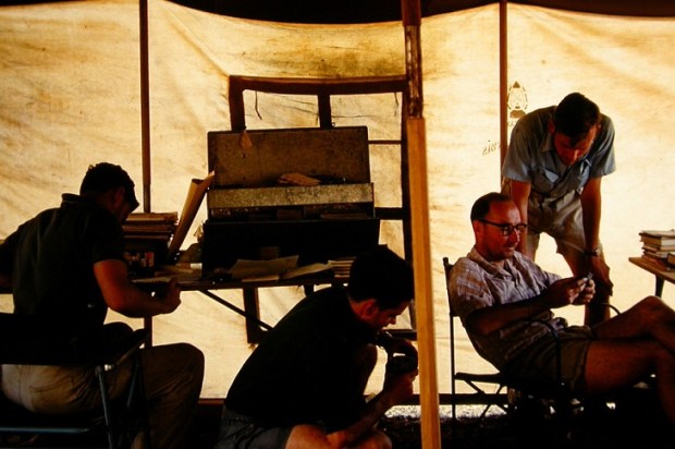
Studying Aerial Photographs
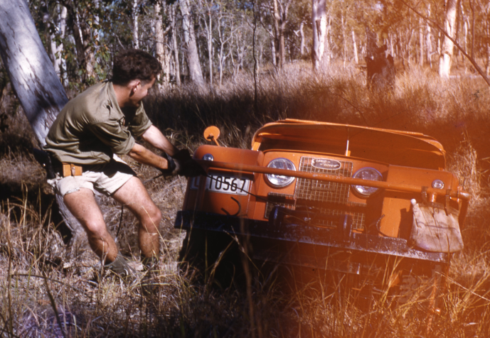
Creek Crossings were sometimes Difficult
Collections of similar rocks that occur together are referred to as a ‘formation’ and the first geologist to map and describe that formation usually gets to give it a name.
The Bowen Basin looks a bit like a multi-layered sloping trough. The oldest formations are exposed in the north and towards the edges of the basin and are buried deeply in the centre and to the south.
As our work had an oil exploration focus, our most experienced geologists got to map the sediments of the Permian and younger which could be expected to contain valuable resources like coal, oil, and gas. And junior geos starting out like me got the very old edges of the basin and the very young surface rocks created by more recent volcanic activity.
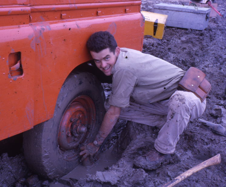
Not All Beer and Skittles
Both of these areas showed clear evidence of dramatic earth upheavals – not just a bit of benign ‘global warming’ or even a bit of cooling but earth-shattering destructive eruptions, intrusions, and floods of lava.
The main older formations at the base of the Bowen Basin are called ‘The Lower Bowen Volcanics’. I looked at numerous outcrops of these rocks. They showed many eruptions of volcanic lava, followed ages later by swarms of intrusive dykes and sills of younger igneous rocks. Some of these intrusions were accompanied by hot corrosive liquids (hydro-thermals) that sometimes deposited veins of copper, gold, and other precious metals.
Many of the sedimentary rocks (those deposited from moving currents of wind or water) also showed evidence of a dramatic geological history. Some showed conglomerates composed of large and small water-worn fragments of other rocks that have been broken up, rolled along, rounded by abrasion, then dumped under water and welded into conglomerate rock by heat, pressure, or cementing liquids.
And imagine the forces involved to create structures like Mount Jukes, north of Mackay, a volcanic plug that has intruded the surrounding strata which has since been eroded away leaving the solid plug now exposed.
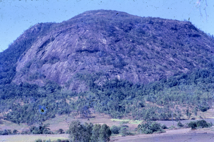
Mount Jukes Igneous Intrusion
And what about the massive sandstones that cover square miles of country – thick barren beds of solidified sand and gravel dumped by flooding water or desert winds?
Massive Barren Sandstones, Carnarvon Gorge
Bowen Basin rocks also contain huge fossilised tree trunks, some 400 mm in diameter and up to 5 metres long – not standing in place but lying flat.
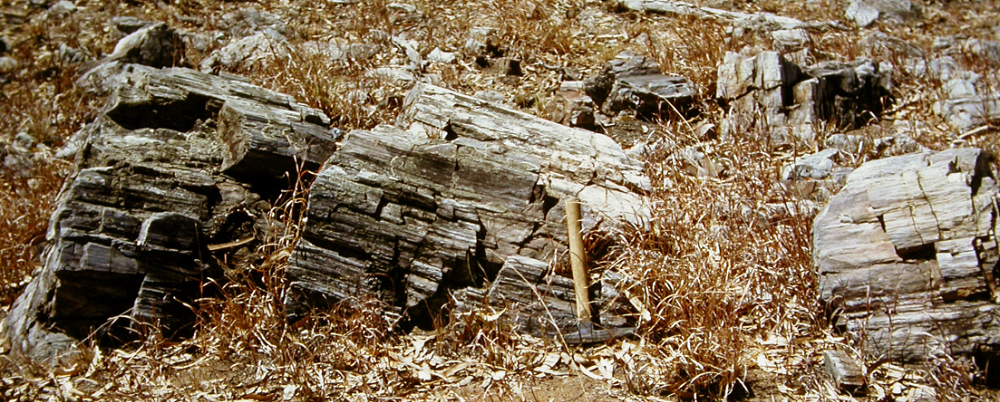
Large Lumps of Fossilised Tree Trunks
The main coal deposit at Blair Athol was also a mystery. One massive heap of solid coal was about 30 metres thick. This simple geologist cannot believe that such a thickness of pure plant material could slowly accumulate where it grew on a forest floor – a more likely explanation is that massive tidal waves, probably caused by astronomical disasters, flattened and stripped vast areas of ancient forest and dumped a great heap of floating plant material in the Blair Athol backwater. This plant material was then buried by later sediments and became coal.
Those who wish to pursue parts of these historical puzzles should read two books by Emmanuel Velikovsky: Worlds in Collision and then Earth in Upheaval.
Recent Historical Evidence
Close study of rock texture and composition can reveal the history of the rocks. Some of the coal seams themselves illustrate past dramas – there are tongues of igneous rock (once hot molten rock) intruding the coal, cooking the coal to char. These intrusions are not welcomed by coal miners.
Some sedimentary layers are so widespread and distinctive that they are used as markers to identify where those rocks sit in the sedimentary sequence.
And some layers of volcanic tuff are able to be identified in outcrops and in drill logs over very large areas. That indicates a very large volcanic explosion somewhere nearby.
We worry global warming so slight most people would never notice it. The record of the rocks in the Bowen Basin shows that far greater disasters have affected this area of Queensland.
And those same geological processes have created a cornucopia of mineral resources that sensible people can use.

But it was Not All Work
Left to right – Arch O’Connor, unknown lady, Judith Bell, Viv Forbes, Merle Jensen, and Ralph Jensen under the Waitara Homestead of the Bell family in about 1962.
Written by Viv Forbes (who spent a long life studying the geology, resources, and mining feasibility of the coal deposits of the Bowen Basin of Queensland).